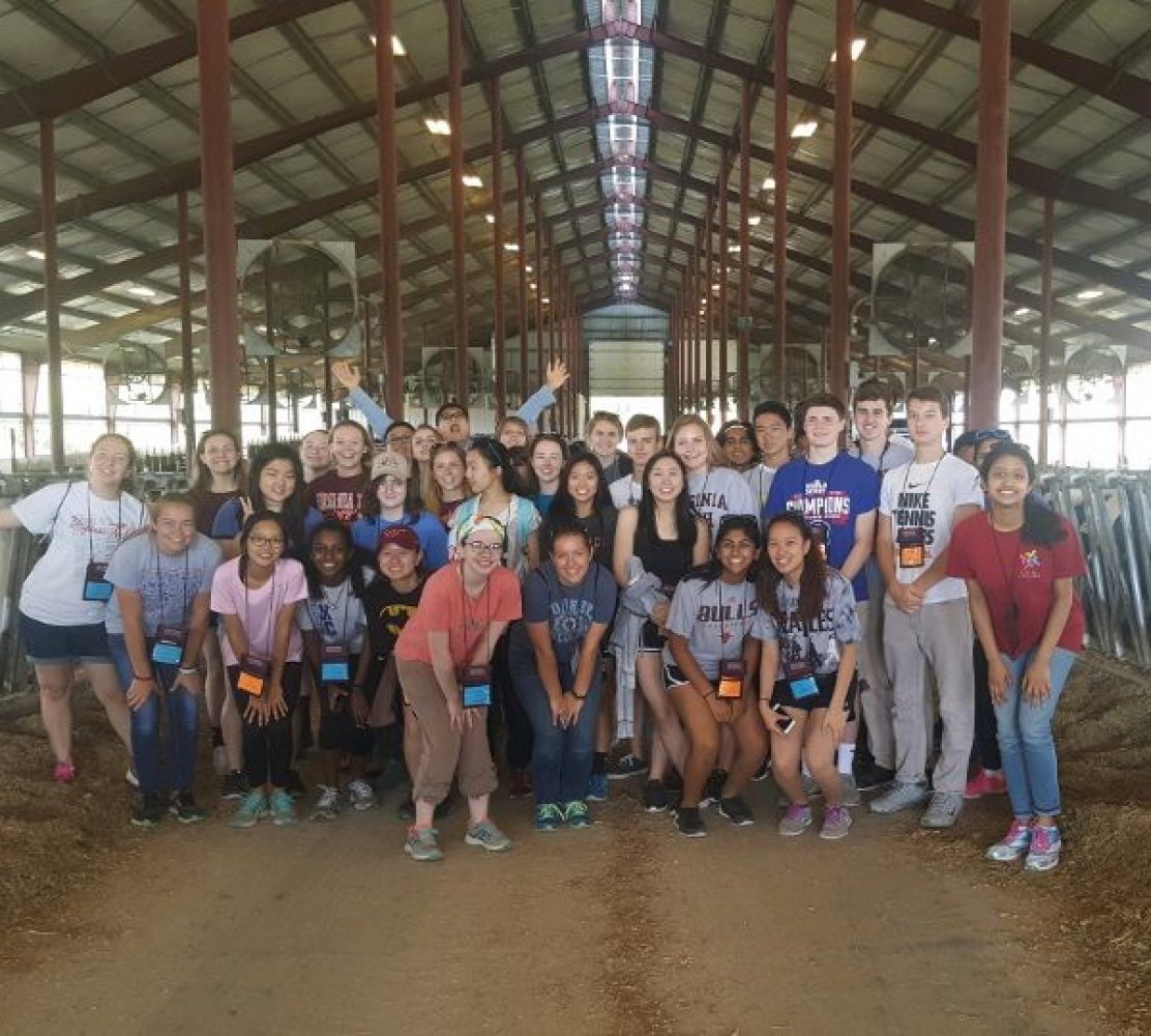

Today, the students continued working in their major classes and electives! The agricultural engineering major learned how to use Multispec which uses internet satellite imagery to track changing landscapes over time. The Multispec program takes satellite images and allows the user to crop the portion of the land desired and change the bands (colors). The three bands included red, green and blue which combined to form what is called false coloring. This false coloring can be changed accordingly to highlight different changes over time. In the food science class, the students went to the meat center and made hamburgers. They practiced food safety methods using thermometers to make sure they were cooked correctly. Unfortunately, they didn’t get to eat their hamburgers! During the plant science class, students learned about different soils and turf grass. Students in the agricultural economics class talked about food security and impoverished countries. They learned about how a large population of people are living hungry and/or earning less than one dollar a day. Next, the animal science majors got to visit the beef cattle center and watch an ultrasound performed on two different cows. They learned about what marbling and backfat looked like in cows of different ages. It was a very interesting day and these students can’t believe that week 3 is already halfway over! They will definitely enjoy the rest of their time here!

K. R. Eckler, E. E. Kim, L. F. O’Hara, A. S. Ronkainen, P. Shankar
